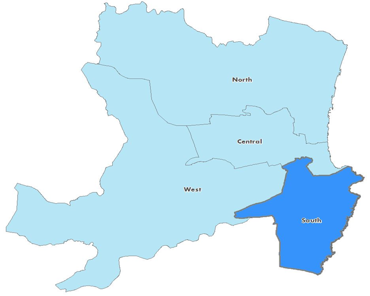
South Locality covers the areas of Kincorth and Cove, Altens, Nigg, Leggart, Ferryhill, Rutheriston, Torry, and Garthdee as well as the south of Aberdeen city centre. The locality is largely urban and shares a boundary with central and west localities of the Health and Social Care Partnership, as well as Aberdeenshire. Whilst the local economy has traditionally been based on fishing and agriculture, companies relating to the oil and gas and fishing industries as well as retail services dominate across the locality. To learn more about the South Locality, please click on the below profile document.
Locality Plans
The partnership is required to involve representatives of a locality in decisions or changes that are likely to significantly affect service provision in the area. To help achieve this, Locality Leadership Groups (LLGs) have been established in all of our four localities within Aberdeen City. The role of the LLG includes developing and ensuring appropriate connections and partnerships across the locality to improve the health and wellbeing of the locality population and reduce the health inequalities that we know impact negatively on people’s lives. The group works with services and communities and has a direct line of communication to the strategic planning group of the ACHSCP.

